
Cuballing topographic map
Interactive map
Click on the map to display elevation.
About this map
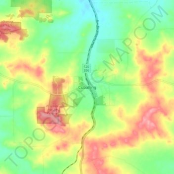
Name: Cuballing topographic map, elevation, terrain.
Location: Cuballing, Western Australia, Australia (-32.85991 117.13832 -32.77991 117.21832)
Average elevation: 1,201 ft
Minimum elevation: 1,050 ft
Maximum elevation: 1,388 ft