
Hammam Sokhna topographic map
Interactive map
Click on the map to display elevation.
About this map
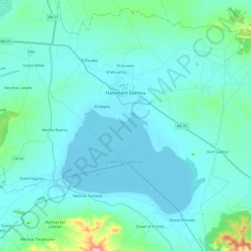
Name: Hammam Sokhna topographic map, elevation, terrain.
Location: Hammam Sokhna, Hammam Sokhna District, Setif, 19066, Algeria (35.85544 5.73649 36.04770 5.92327)
Average elevation: 3,015 ft
Minimum elevation: 2,861 ft
Maximum elevation: 4,265 ft