
Sorö topographic map
Interactive map
Click on the map to display elevation.
About this map
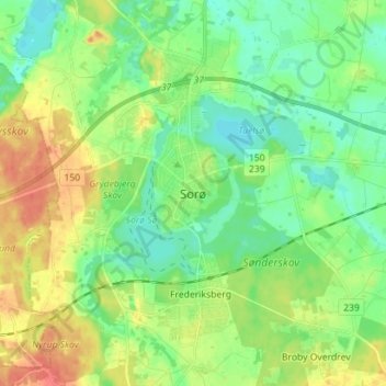
Name: Sorö topographic map, elevation, terrain.
Location: Sorö, Sorø Kommune, Region Seeland, 4180, Dänemark (55.39658 11.52294 55.47658 11.60294)
Average elevation: 148 ft
Minimum elevation: 92 ft
Maximum elevation: 240 ft