
Thank you for supporting this site ❤️
Make a donation
Make a donation
Gear up for your next adventure:
As an Amazon Associate, this site earns from qualifying purchases at no extra cost to you.
Irtysh topographic map
Click on the map to display elevation.
Thank you for supporting this site ❤️
Make a donation
Make a donation
Gear up for your next adventure:
As an Amazon Associate, this site earns from qualifying purchases at no extra cost to you.
About this map
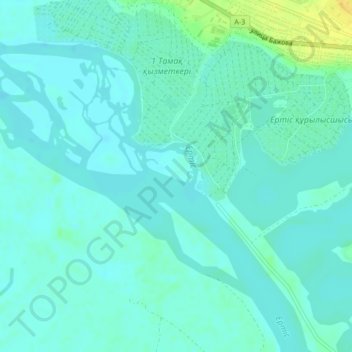
Name: Irtysh topographic map, elevation, terrain.
Location: Irtysh, Oskemen, East Kazakhstan Region, 070009, Kazakhstan (50.00140 82.50987 50.00617 82.51644)
Average elevation: 915 ft
Minimum elevation: 896 ft
Maximum elevation: 971 ft
Thank you for supporting this site ❤️
Make a donation
Make a donation
Gear up for your next adventure:
As an Amazon Associate, this site earns from qualifying purchases at no extra cost to you.