
Tahuamanu topographic map
Interactive map
Click on the map to display elevation.
About this map
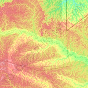
Name: Tahuamanu topographic map, elevation, terrain.
Location: Tahuamanu, Iñapari, Tahuamanu, Madre de Dios, Peru (-11.09716 -70.86501 -10.99175 -70.53808)
Average elevation: 1,247 ft
Minimum elevation: 984 ft
Maximum elevation: 1,473 ft
Other topographic maps
Click on a map to view its topography, its elevation and its terrain.
Iñapari
Peru > Madre de Dios > Iñapari
Iñapari, Tahuamanu, Madre de Dios, Peru
Average elevation: 873 ft