
Twin View Heights topographic map
Interactive map
Click on the map to display elevation.
About this map
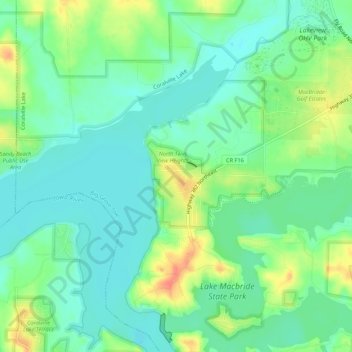
Name: Twin View Heights topographic map, elevation, terrain.
Location: Twin View Heights, Johnson County, Iowa, 52333, USA (41.79057 -91.59323 41.83057 -91.55323)
Average elevation: 725 ft
Minimum elevation: 666 ft
Maximum elevation: 837 ft