
Sobótka topographic map
Interactive map
Click on the map to display elevation.
About this map
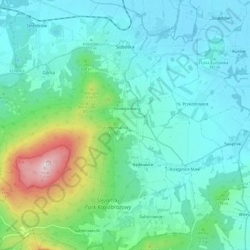
Name: Sobótka topographic map, elevation, terrain.
Average elevation: 853 ft
Minimum elevation: 489 ft
Maximum elevation: 2,303 ft
Other topographic maps
Click on a map to view its topography, its elevation and its terrain.
Mietków
Poland > Lower Silesian Voivodeship > Wrocław County
Mietków, gmina Mietków, Wrocław County, Lower Silesian Voivodeship, 55-081, Poland
Average elevation: 525 ft