
Matama topographic map
Interactive map
Click on the map to display elevation.
About this map
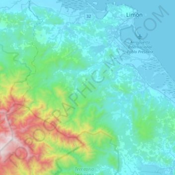
Name: Matama topographic map, elevation, terrain.
Location: Matama, Cantón Limón, Provincia Limón, 70104, Costa Rica (9.78481 -83.25739 9.95452 -82.95675)
Average elevation: 1,175 ft
Minimum elevation: -3 ft
Maximum elevation: 7,188 ft