
Slieve Gullion topographic map
Interactive map
Click on the map to display elevation.
About this map
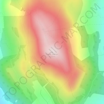
Name: Slieve Gullion topographic map, elevation, terrain.
Average elevation: 1,083 ft
Minimum elevation: 282 ft
Maximum elevation: 1,867 ft
Other topographic maps
Click on a map to view its topography, its elevation and its terrain.
Mourne
United Kingdom > Northern Ireland > Newry
Mourne, C316, Drummanmore, Newry, County Down, Northern Ireland, BT34 4BH, United Kingdom
Average elevation: 554 ft
Slieve Donard
United Kingdom > Northern Ireland
Slieve Donard, County Down, Northern Ireland, BT33 0HD, United Kingdom
Average elevation: 1,650 ft
Lisdrumgullion
United Kingdom > Northern Ireland > Newry
Lisdrumgullion, Newry, County Down, Northern Ireland, BT35 6BH, United Kingdom
Average elevation: 135 ft