
Provincia de Tocache topographic map
Interactive map
Click on the map to display elevation.
About this map
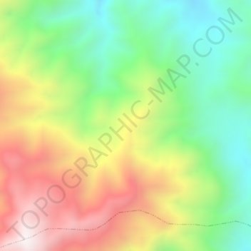
Name: Provincia de Tocache topographic map, elevation, terrain.
Location: Provincia de Tocache, Pólvora, Tocache, San Martín, Perú (-8.24118 -76.72263 -8.20118 -76.68263)
Average elevation: 5,049 ft
Minimum elevation: 3,507 ft
Maximum elevation: 7,070 ft