
Big Bend topographic map
Interactive map
Click on the map to display elevation.
About this map
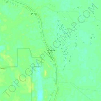
Name: Big Bend topographic map, elevation, terrain.
Location: Big Bend, Avoyelles Parish, Louisiana, United States (31.05379 -91.81206 31.09379 -91.77206)
Average elevation: 49 ft
Minimum elevation: 23 ft
Maximum elevation: 75 ft