
Tanza topographic map
Interactive map
Click on the map to display elevation.
About this map
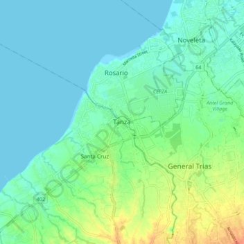
Name: Tanza topographic map, elevation, terrain.
Location: Tanza, Cavite, Calabarzon, 4108, Philippines (14.36066 120.81728 14.44066 120.89728)
Average elevation: 33 ft
Minimum elevation: -3 ft
Maximum elevation: 125 ft