
Karacaören topographic map
Interactive map
Click on the map to display elevation.
About this map
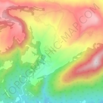
Name: Karacaören topographic map, elevation, terrain.
Location: Karacaören, Geyve, Sakarya, Marmara Region, Turkey (40.36816 30.21718 40.40816 30.25718)
Average elevation: 1,834 ft
Minimum elevation: 778 ft
Maximum elevation: 2,822 ft