
Barrage de Mauvoisin topographic map
Interactive map
Click on the map to display elevation.
About this map
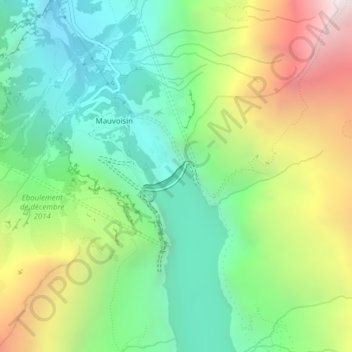
Name: Barrage de Mauvoisin topographic map, elevation, terrain.
Average elevation: 7,454 ft
Minimum elevation: 5,361 ft
Maximum elevation: 11,217 ft