
Latondu topographic map
Interactive map
Click on the map to display elevation.
About this map
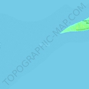
Name: Latondu topographic map, elevation, terrain.
Location: Latondu, South Sulawesi, Indonesia (-6.52987 120.95398 -6.48987 120.99398)
Average elevation: 0 ft
Minimum elevation: 0 ft
Maximum elevation: 36 ft