
Pianelle topographic map
Interactive map
Click on the map to display elevation.
About this map
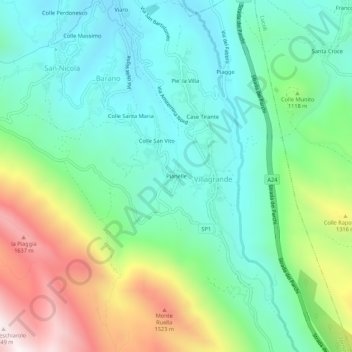
Name: Pianelle topographic map, elevation, terrain.
Average elevation: 3,455 ft
Minimum elevation: 2,448 ft
Maximum elevation: 5,728 ft
Other topographic maps
Click on a map to view its topography, its elevation and its terrain.
Piagge
Italie > Abruzzes > L'Aquila > Villagrande
Piagge, Villagrande, Tornimparte, L'Aquila, Abruzzes, 67049, Italie
Average elevation: 2,963 ft