
Gemeinde Litschau topographic map
Interactive map
Click on the map to display elevation.
About this map
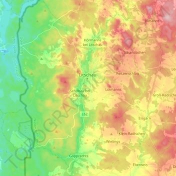
Name: Gemeinde Litschau topographic map, elevation, terrain.
Location: Gemeinde Litschau, Bezirk Gmünd, Lower Austria, 3874, Austria (48.87920 14.97619 48.99196 15.12195)
Average elevation: 1,808 ft
Minimum elevation: 1,506 ft
Maximum elevation: 2,185 ft