
Jorethang topographic map
Interactive map
Click on the map to display elevation.
About this map
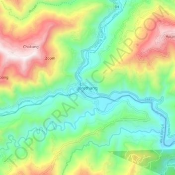
Name: Jorethang topographic map, elevation, terrain.
Location: Jorethang, Namchi, South Sikkim District, Sikkim, India (27.09152 88.24253 27.17152 88.32253)
Average elevation: 2,372 ft
Minimum elevation: 879 ft
Maximum elevation: 5,075 ft