
Ejido Cañada de Pastores topographic map
Interactive map
Click on the map to display elevation.
About this map
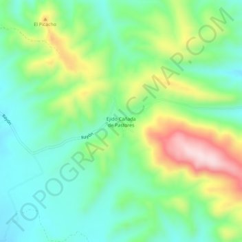
Name: Ejido Cañada de Pastores topographic map, elevation, terrain.
Average elevation: 4,354 ft
Minimum elevation: 3,953 ft
Maximum elevation: 5,157 ft