
Salem topographic map
Interactive map
Click on the map to display elevation.
About this map
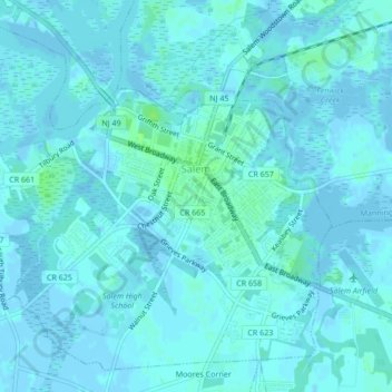
Name: Salem topographic map, elevation, terrain.
Location: Salem, Salem County, New Jersey, United States (39.55487 -75.49497 39.58402 -75.45239)
Average elevation: 7 ft
Minimum elevation: -13 ft
Maximum elevation: 33 ft