
La Murta topographic map
Interactive map
Click on the map to display elevation.
About this map
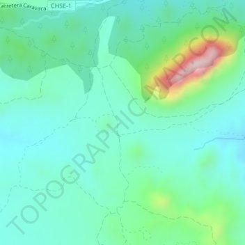
Name: La Murta topographic map, elevation, terrain.
Location: La Murta, Cieza, Vega Alta del Segura, Murcia, España (38.19458 -1.56645 38.21458 -1.54645)
Average elevation: 1,365 ft
Minimum elevation: 1,060 ft
Maximum elevation: 2,451 ft