
Río Ariguaní topographic map
Interactive map
Click on the map to display elevation.
About this map
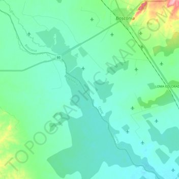
Name: Río Ariguaní topographic map, elevation, terrain.
Location: Río Ariguaní, Bosconia, Cesar, Colombia (9.80033 -74.03202 9.99246 -73.85072)
Average elevation: 223 ft
Minimum elevation: 148 ft
Maximum elevation: 574 ft
Other topographic maps
Click on a map to view its topography, its elevation and its terrain.