
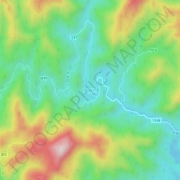
里源村 topographic map
Interactive map
Click on the map to display elevation.
About this map
Name: 里源村 topographic map, elevation, terrain.
Location: 里源村, 秋口镇, Xian de Wuyuan, Shangrao, Jiangxi, Chine (29.40200 117.90047 29.44200 117.94047)
Average elevation: 961 ft
Minimum elevation: 358 ft
Maximum elevation: 2,021 ft