
Kampung Lipat Kajang topographic map
Interactive map
Click on the map to display elevation.
About this map
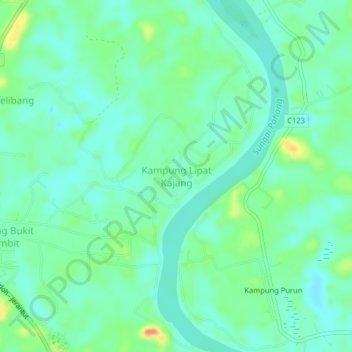
Name: Kampung Lipat Kajang topographic map, elevation, terrain.
Location: Kampung Lipat Kajang, Temerloh, Pahang, 28010, Malaysia (3.55948 102.38401 3.59948 102.42401)
Average elevation: 135 ft
Minimum elevation: 85 ft
Maximum elevation: 262 ft