
Pedregal topographic map
Interactive map
Click on the map to display elevation.
About this map
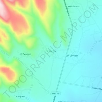
Name: Pedregal topographic map, elevation, terrain.
Location: Pedregal, Ahualulco, San Luis Potosí, México (22.42188 -101.17710 22.46188 -101.13710)
Average elevation: 6,312 ft
Minimum elevation: 6,004 ft
Maximum elevation: 7,297 ft