Geolocate

Nalanda topographic map

Click on the map to display elevation.

About this map

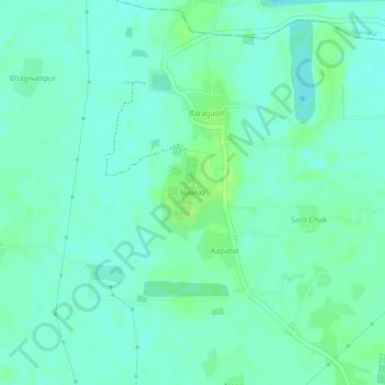
Name: Nalanda topographic map, elevation, terrain.

Location: Nalanda, Kapatia, Silao, Nalanda, Bihar, 803111, India (25.13314 85.44107 25.13979 85.44633)

Average elevation: 194 ft

Minimum elevation: 174 ft

Maximum elevation: 217 ft

Gear up for your next adventure:

🏕️Tent Footprint - Protect your tent base from wear
🌡️Handheld Weather Meters - Measure wind, temp, and pressure for safe mountain travel
🏕️Family Camping Gear - Essentials for group camping trips
🎒Trail Energy Bars - High‑calorie bars for hiking energy
🪶Compact Camp Shovel - Folding shovel for campsite tasks

As an Amazon Associate, this site earns from qualifying purchases at no extra cost to you.