
Töpingen topographic map
Interactive map
Click on the map to display elevation.
About this map
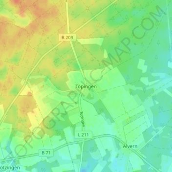
Name: Töpingen topographic map, elevation, terrain.
Location: Töpingen, Munster, Heidekreis, Niedersachsen, Deutschland (53.00979 9.98034 53.04979 10.02034)
Average elevation: 312 ft
Minimum elevation: 262 ft
Maximum elevation: 377 ft