
Taufers im Münstertal - Tubre topographic map
Interactive map
Click on the map to display elevation.
About this map
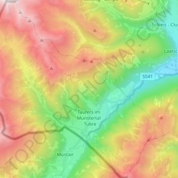
Name: Taufers im Münstertal - Tubre topographic map, elevation, terrain.
Average elevation: 6,296 ft
Minimum elevation: 3,074 ft
Maximum elevation: 10,381 ft