
Río La Villa topographic map
Interactive map
Click on the map to display elevation.
About this map
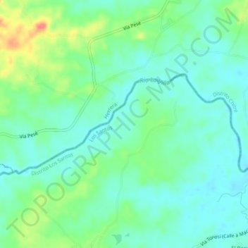
Name: Río La Villa topographic map, elevation, terrain.
Location: Río La Villa, Chitré, Distrito Chitré, Herrera, Panamá (7.93241 -80.50001 7.94835 -80.45981)
Average elevation: 89 ft
Minimum elevation: 33 ft
Maximum elevation: 217 ft