
Hatchbend topographic map
Interactive map
Click on the map to display elevation.
About this map
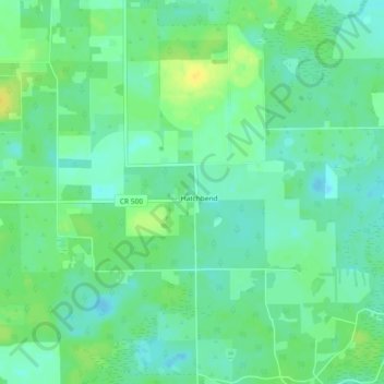
Name: Hatchbend topographic map, elevation, terrain.
Location: Hatchbend, Lafayette County, Florida, United States (29.82718 -82.93818 29.86718 -82.89818)
Average elevation: 43 ft
Minimum elevation: 13 ft
Maximum elevation: 82 ft