
Saroujah topographic map
Interactive map
Click on the map to display elevation.
About this map
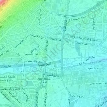
Name: Saroujah topographic map, elevation, terrain.
Location: Saroujah, Damascus Governorate, Syria (33.51248 36.29163 33.52059 36.30067)
Average elevation: 2,303 ft
Minimum elevation: 2,218 ft
Maximum elevation: 2,753 ft