
Lansdowne topographic map
Interactive map
Click on the map to display elevation.
About this map
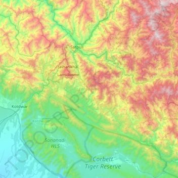
Name: Lansdowne topographic map, elevation, terrain.
Location: Lansdowne, Pauri Garhwal, Uttarakhand, India (29.53945 78.50628 30.05245 79.00788)
Average elevation: 3,363 ft
Minimum elevation: 830 ft
Maximum elevation: 8,665 ft