
Siglo XX topographic map
Interactive map
Click on the map to display elevation.
About this map
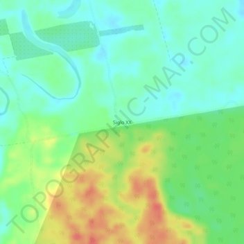
Name: Siglo XX topographic map, elevation, terrain.
Location: Siglo XX, Municipio Puerto Villarroel, Cochabamba, Bolivia (-17.05286 -64.76327 -17.01286 -64.72327)
Average elevation: 692 ft
Minimum elevation: 627 ft
Maximum elevation: 807 ft