
Northfleet topographic map
Interactive map
Click on the map to display elevation.
About this map
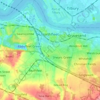
Name: Northfleet topographic map, elevation, terrain.
Location: Northfleet, Kent, South East, England, United Kingdom (51.39348 0.31066 51.46934 0.37343)
Average elevation: 108 ft
Minimum elevation: -23 ft
Maximum elevation: 351 ft