
Little Plymouth topographic map
Interactive map
Click on the map to display elevation.
About this map
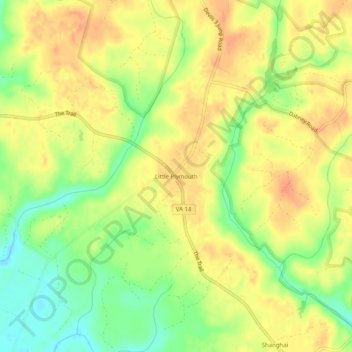
Name: Little Plymouth topographic map, elevation, terrain.
Average elevation: 82 ft
Minimum elevation: -3 ft
Maximum elevation: 138 ft
Other topographic maps
Click on a map to view its topography, its elevation and its terrain.
King and Queen Court House
United States > Virginia > King and Queen County
King and Queen Court House, King and Queen County, Virginia, 23085, United States
Average elevation: 39 ft