
Усово topographic map
Interactive map
Click on the map to display elevation.
About this map
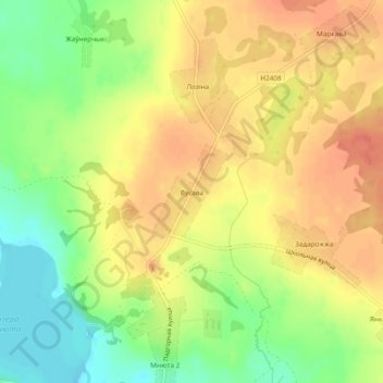
Name: Усово topographic map, elevation, terrain.
Average elevation: 574 ft
Minimum elevation: 482 ft
Maximum elevation: 636 ft
Other topographic maps
Click on a map to view its topography, its elevation and its terrain.
Поречье
Беларусь > Витебская область > Глубокский район > Плисский сельский Совет
Поречье, Плисский сельский Совет, Глубокский район, Витебская область, Беларусь
Average elevation: 541 ft