
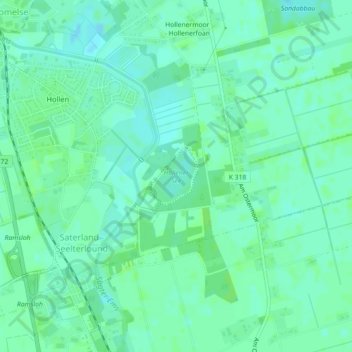
Hollener See topographic map
Interactive map
Click on the map to display elevation.
About this map
Name: Hollener See topographic map, elevation, terrain.
Average elevation: 20 ft
Minimum elevation: 3 ft
Maximum elevation: 30 ft
Other topographic maps
Click on a map to view its topography, its elevation and its terrain.
Sedelsberg
Deutschland > Niedersachsen > Landkreis Cloppenburg > Saterland
Sedelsberg, Saterland, Landkreis Cloppenburg, Niedersachsen, Deutschland
Average elevation: 23 ft
Ramsloh
Deutschland > Niedersachsen > Landkreis Cloppenburg > Saterland
Ramsloh, Saterland, Landkreis Cloppenburg, Niedersachsen, 26683, Deutschland
Average elevation: 20 ft
Scharrel
Deutschland > Niedersachsen > Landkreis Cloppenburg > Saterland
Scharrel, Saterland, Landkreis Cloppenburg, Niedersachsen, Deutschland
Average elevation: 20 ft