
Metroha topographic map
Interactive map
Click on the map to display elevation.
About this map
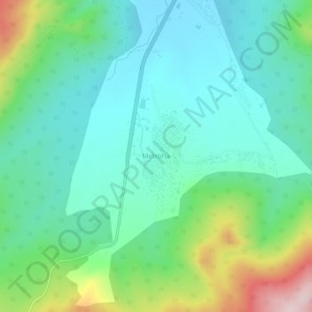
Name: Metroha topographic map, elevation, terrain.
Location: Metroha, El Tarf, Daïra El Tarf, El Tarf, 36000, Algérie (36.69853 8.26178 36.73853 8.30178)
Average elevation: 400 ft
Minimum elevation: 108 ft
Maximum elevation: 1,230 ft
Other topographic maps
Click on a map to view its topography, its elevation and its terrain.
Bounamoussa
Algérie > El Tarf > Daïra El Tarf > El Tarf
Bounamoussa, El Tarf, Daïra El Tarf, El Tarf, 3600, Algérie
Average elevation: 171 ft