
Winnefeld topographic map
Interactive map
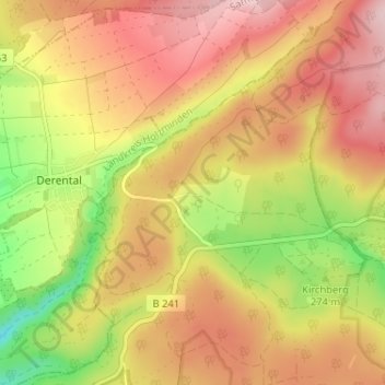
Click on the map to display elevation.
About this map
Name: Winnefeld topographic map, elevation, terrain.
Location: Winnefeld, Solling, Landkreis Northeim, Nedersaksen, Duitsland (51.67324 9.43356 51.71324 9.47356)
Average elevation: 1,010 ft
Minimum elevation: 571 ft
Maximum elevation: 1,345 ft