
Ghaggar topographic map
Interactive map
Click on the map to display elevation.
About this map
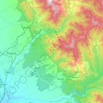
Name: Ghaggar topographic map, elevation, terrain.
Location: Ghaggar, Shimla, Solan, Himachal Pradesh, 171001, India (30.74197 76.90514 30.87021 77.06414)
Average elevation: 2,717 ft
Minimum elevation: 1,270 ft
Maximum elevation: 5,814 ft