
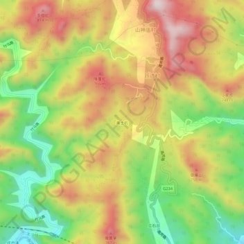
黄土坑 topographic map
Interactive map
Click on the map to display elevation.
About this map
Name: 黄土坑 topographic map, elevation, terrain.
Location: 黄土坑, 跃进村, 门头沟区, 北京市, 中国 (40.04727 115.82839 40.08727 115.86839)
Average elevation: 1,896 ft
Minimum elevation: 902 ft
Maximum elevation: 2,884 ft