
Isola del Tinetto topographic map
Interactive map
Click on the map to display elevation.
About this map
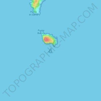
Name: Isola del Tinetto topographic map, elevation, terrain.
Location: Isola del Tinetto, Portovenere, SP, LIG, Italia (44.02324 9.85051 44.02448 9.85147)
Average elevation: 3 ft
Minimum elevation: 0 ft
Maximum elevation: 236 ft
Other topographic maps
Click on a map to view its topography, its elevation and its terrain.
Isola del Tino
Italia > LIG > Portovenere
Isola del Tino, Portovenere, SP, LIG, Italia
Average elevation: 7 ft