
El Apartadero topographic map
Interactive map
Click on the map to display elevation.
About this map
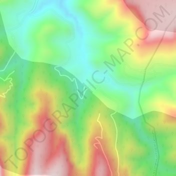
Name: El Apartadero topographic map, elevation, terrain.
Location: El Apartadero, Tierra Blanca, Guanajuato, México (20.97780 -100.14734 20.99780 -100.12734)
Average elevation: 7,087 ft
Minimum elevation: 6,381 ft
Maximum elevation: 7,877 ft