
相思仔竹园 topographic map
Interactive map
Click on the map to display elevation.
About this map
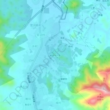
Name: 相思仔竹园 topographic map, elevation, terrain.
Location: 相思仔竹园, 许村, 六祖镇, 新兴县, 云浮市, 广东省, 527400, 中国 (22.59747 112.20449 22.63747 112.24449)
Average elevation: 259 ft
Minimum elevation: 108 ft
Maximum elevation: 1,125 ft