
仁乐家园社区 topographic map
Interactive map
Click on the map to display elevation.
About this map
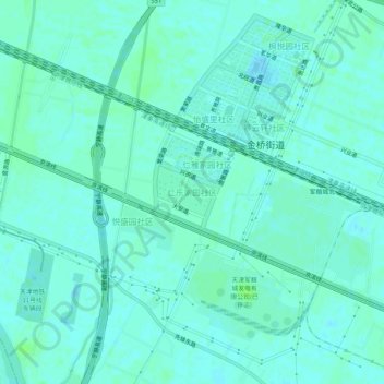
Name: 仁乐家园社区 topographic map, elevation, terrain.
Location: 仁乐家园社区, 东丽区, 天津市, 300301, 中国 (39.04477 117.38372 39.08477 117.42372)
Average elevation: 10 ft
Minimum elevation: -3 ft
Maximum elevation: 26 ft
Other topographic maps
Click on a map to view its topography, its elevation and its terrain.