
Bürglen topographic map
Interactive map
Click on the map to display elevation.
About this map
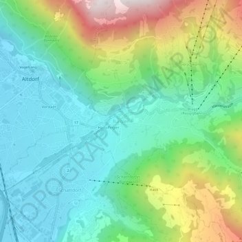
Name: Bürglen topographic map, elevation, terrain.
Location: Bürglen, Uri, 6463, Suisse (46.85508 8.64331 46.89508 8.68331)
Average elevation: 2,674 ft
Minimum elevation: 1,440 ft
Maximum elevation: 5,577 ft