
La Presa topographic map
Interactive map
Click on the map to display elevation.
About this map
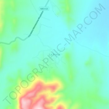
Name: La Presa topographic map, elevation, terrain.
Location: La Presa, Moctezuma, San Luis Potosí, México (22.65684 -101.11994 22.69684 -101.07994)
Average elevation: 6,030 ft
Minimum elevation: 5,778 ft
Maximum elevation: 6,854 ft