
Ajuchitlán topographic map
Interactive map
Click on the map to display elevation.
About this map
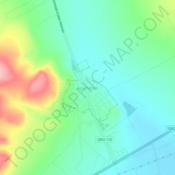
Name: Ajuchitlán topographic map, elevation, terrain.
Location: Ajuchitlán, Colón, Querétaro, México (20.68790 -100.04113 20.72790 -100.00113)
Average elevation: 6,519 ft
Minimum elevation: 6,365 ft
Maximum elevation: 6,883 ft