
San Martín topographic map
Interactive map
Click on the map to display elevation.
About this map
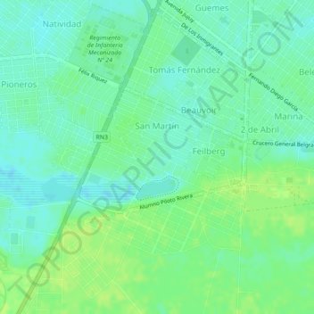
Name: San Martín topographic map, elevation, terrain.
Location: San Martín, Río Gallegos, Güer Aike, Santa Cruz, Argentina (-51.65061 -69.23863 -51.63866 -69.21328)
Average elevation: 46 ft
Minimum elevation: 26 ft
Maximum elevation: 66 ft