
Kimball topographic map
Interactive map
Click on the map to display elevation.
About this map
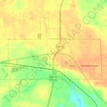
Name: Kimball topographic map, elevation, terrain.
Location: Kimball, Stearns County, Minnesota, USA (45.30583 -94.32294 45.32526 -94.28157)
Average elevation: 1,158 ft
Minimum elevation: 1,073 ft
Maximum elevation: 1,194 ft